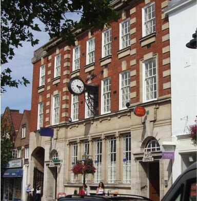
 North Street, Taunton
WALK 1
TAUNTON
From the county town with canal, river and villages
A longer (but level) walk along tracks, lanes and towpaths
Distance 12.7Km/7.9 miles
Total ascent/descent 36m
www.mapmyrun.com/routes/view/21045604
Updated August 2023 Comments to [email protected]
1 From the bus-stop (GR225 246) at the terminus in Taunton(1) go ahead to the Parade and the roundabout with the Burma Memorial(2). Head north past the shops of North St and after 200m go R by the Pelican crossing into St James St. After 120m go L into Coal Orchard past the Brewhouse Theatre on L and the County Cricket ground(3) on R. At waterside go L down ramp (note Pluto of Somerset Space Walk(4) on R) and cross footbridge to supermarket. Go R with canal on R 600m to Firepool Lock and cross bridge 37 (SP Bridgwater). Follow path with the Bridgwater & Taunton Canal on the L passing under several bridges and the high Obridge Viaduct (bridge 34) to bridge 32 [2.9Km]
2 (GR243 261) After 200m pass on R Neptune(4) and a further 800m reach bridge 30, a swing bridge. Go ahead passing under the A38 in Bathpool and after 1Km the M5 viaduct. After a further 1.1Km reach bridge 27 and just beyond go R along ramp to road in Creech St Michael [3.1Km]
3 (GR273 255) Continue along the road as it passes over the railway line and shortly bears R and crosses a single-track bridge over the River Tone. Cross another bridge after 150m and opposite the turn to Ham, go R through gate (SP Public Footpath). Follow the path with the river on the R to reach and cross an embankment of the former Chard Canal. Continue passing under L arch of the five-arch bridge which carried the old railway line from Yeovil to Taunton, then cross two more fields and at the end of the third field bear L to small brick building then ahead along a stony path to reach a road and turn R to reach the Ruishton Inn in 150m [1.4Km]
4 (GR264 250) Go R along Church Lane, pass the church and at the end of track go over the steps by Green House (actually painted white!) and follow the clear path parallel to power lines across the field soon joining the river on the R. After a further 400m go R over stream by footbridge and pass under the M5 [0.7Km]
5 (GR259 254) Continue to follow the broad stony path with water on the R and after 700m reach a small footbridge at the head of a lake. Cross the bridge and continue with lake on L. After 300m go up ramp on R to cross bridge and continue with river on L and railway on R 1.4Km to reach Obridge viaduct [2.5Km]
6 (GR236 255) Continue 200m then go L over river bridge and then R along tarmac path with river now on R. After 300m fork L under bridge by Dunelm to road and follow to roundabout. Take 2nd road on R (Priory Avenue). After 300m at traffic lights go L (St Augustine’s St) then third R (Duke St) through St Mary’s(5) churchyard and ahead into Hammet St to reach North Street. Go ahead to the Burma Memorial and the bus stop [2.0Km]
FOR A SHORTER WALK Distance 6.3 Km/ 3.9 miles
Follow to end of point 1. Just before bridge go up ramp on R to road by Screwfix. Go R 100m and follow as it bears L. After 70m just before the recycling centre entrance cross metal stile on R and follow track crossing (with care) the railway. At the far side go R along the path and after 800m reach Obridge viaduct. Follow from point 6.
For car travellers:
Use public car parks in Taunton or the Gateway Park and Ride near M5 J25 and use P&R bus
Alternatively park with care in Creech St Michael and start at point 3
Refreshments:
Bars, cafes and restaurants in Taunton
Ruishton Inn, Ruishton
1 Taunton was founded in Saxon times and by 1086 had a population of 1500. It is the largest town in Somerset (pop 70,000). Its status throughout history has mainly been as a trading centre.
2 The Burma Memorial commemorates men of Somerset Light Infantry who fell in the Third Burma War (1885-87) where144 men lost their lives
3 The County Ground has been the home of Somerset Cricket since 1882 and has a capacity of 8,500
4 The Somerset Space Walk is a scale model of the Solar System opened 1997 with the planets placed along the canal. At its scale (1:53 million) Pluto is 11Km from the (2.4 metre diameter) Sun at Higher Maunsel. (The nearest star would be 76,000 Km away!)
5 The Church of St Mary Magdalene, completed in 1508, has a beautiful painted nave ceiling. The tower was built around 1503 rebuilt 1860. It is the county’s tallest church tower at 50m
